 Ladakh 10 days 2 pax min
Kashmir Ladakh Tour
- Srinagar
- Gulmarg
- Sonmarg
- Kargil
- Leh
- Pangong
- Nubra
- Khardung La
- Sightseeing
- Hotel
- Meals
- Cab

In short
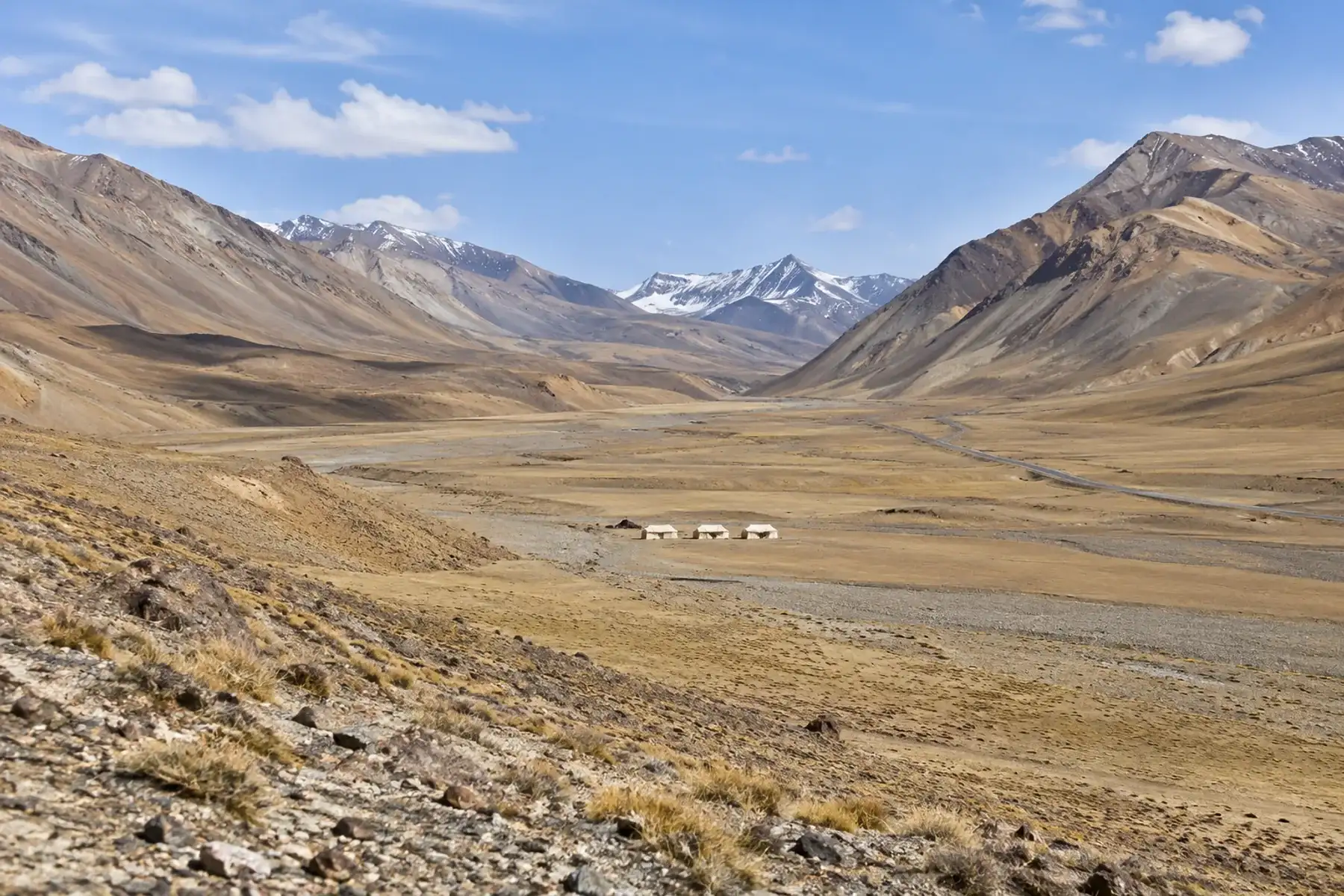
Sarchu is a seasonal tent-camp halt at about 4,200 m on the Leh-Manali Highway, where Ladakh meets Himachal Pradesh. Wikipedia puts 251 km of the road in Ladakh and 177 km in Himachal Pradesh. The Border Roads Organisation announced the road restored on 12 May 2026. Soun Kashmir lists no package that stops there.
At a glance
Sarchu stands at about 4,200 m on the Leh-Manali Highway, exactly where Himachal Pradesh meets Ladakh. Wikipedia calls it a major halt point with tented accommodation, with Baralacha La on its southern side and Lachulung La on its northern side. Its highway article calls Sarchu a military base with a police check post on the state line.
Published heights differ a little, from 4,200 m in Wikipedia to 4,290 m in a guide by the Ladakh travel company Go2Ladakh, updated on 29 May 2026. Wikipedia also flags the Geography section of its Sarchu article as lacking citations (notice dated October 2026), so read the heights as approximate.
| Place on the highway | Height | Source |
|---|---|---|
| Manali | 1,950 m | Wikipedia |
| Keylong | 3,080 m | Wikipedia |
| Jispa | 3,310 m | Wikipedia |
| Darcha | 3,360 m | Wikipedia |
| Sarchu | 4,200 m | Wikipedia |
| Baralacha La | 4,850 m | Wikipedia |
| Pang | 4,650 m | Wikipedia |
| Leh | 3,500 m | Wikipedia |
Sarchu is 251 km from Leh and 177 km from Manali by the current road, according to the way Wikipedia splits the 428 km highway. The Himachal figure became about 45 km shorter once the Atal Tunnel bypassed Rohtang Pass, so the old route would be about 222 km, which matches the Go2Ladakh guide's figure.
| Stretch | What the source says | Source |
|---|---|---|
| Sarchu to Leh | 251 km in Ladakh; the section from Pang to Leh is 175 km and generally takes under 5 hours | Wikipedia |
| Sarchu to Manali | 177 km in Himachal Pradesh by the Atal Tunnel; the table's rows add up to 179 km | Wikipedia |
| Zingzingbar to Pang | 130 km, called the toughest part of the highway, up to 5 to 6 hours | Wikipedia |
| Manali to Leh in a day | 14 to 16 hours without blockades or jams; one night on the way is the norm | Wikipedia |
| Guide figures | 222 km from Manali and 252 km from Leh, 8 to 10 hours to Leh | Go2Ladakh guide, 29 May 2026 |
Wikipedia adds that the highway had no fuel station for 330 km between Tandi and Karu until Keylong's pump opened in September 2021, and that vehicles with small tanks should carry spare fuel.
Wikipedia says the Leh-Manali Highway normally stays open for roughly six months, once snow is cleared in early May until snow shuts the passes in October, and that Sarchu itself can be visited between June and September. A Ladakh tour operator's road log says the road stays blocked for 7 months from October to May, while the Go2Ladakh guide says the camps run from mid-June to late September.
| Date | What happened | Source |
|---|---|---|
| 27 May 2025 | Leh to Manali road recorded as connected and open to all | Discover Leh Ladakh road log (tour operator) |
| 20 November 2025 | Lahaul and Spiti Police closed the road beyond Zingzingbar to all vehicles until further orders | The Tribune, 21 November 2025 |
| 27 March to 12 May 2026 | Border Roads Organisation snow clearance of the 427 km highway took 42 days; vehicles to move once the Lahaul-Spiti administration had made a joint assessment | The Tribune, 12 May 2026 |
| 14 or 15 May 2026 | Light motor vehicles allowed over Baralacha La; heavy vehicles were to follow if traffic stayed smooth for three days | The Tribune, 16 May 2026; Discover Leh Ladakh log |
Dates move with snowfall every year, and the police can close the road at short notice. No closing date for the 2026 to 2027 winter appears in the sources named below, so confirm the Lahaul and Spiti Police and Border Roads Organisation advisories before setting out.
Yes, Wikipedia names acute mountain sickness among the main difficulties of staying at Sarchu and says the chances vary from person to person. Its Sarchu article notes that travellers normally stop at Keylong or Jispa first to acclimatise, and its highway article advises against staying overnight at Sarchu or Pang to keep time at height short. The US Centers for Disease Control and Prevention says children are as susceptible as adults.
| Night before Sarchu | Sleeping height | Rise to Sarchu at 4,200 m |
|---|---|---|
| Keylong | 3,080 m | 1,120 m |
| Jispa | 3,310 m | 890 m |
| Darcha | 3,360 m | 840 m |
| Leh | 3,500 m | 700 m |
| Pang | 4,650 m | 450 m lower |
The rises are simple subtraction of Wikipedia's heights. For comparison, the CDC Yellow Book advises that above 3,000 m you move your sleeping height by no more than 500 m a day and add a rest day for each further 1,000 m of gain. It describes the main symptom as a headache like a hangover, usually starting 2 to 12 hours after arrival and fading within 12 to 48 hours if you climb no higher, and says descent of 300 m or more improves symptoms quickly. Anyone with a heart, lung or blood-pressure condition should ask a doctor before booking.
Wikipedia says the tents on this highway are generally basic and inexpensive, with comfortable Swiss-cottage tents at Sarchu and Jispa. The Go2Ladakh guide is more specific but comes from a travel company.
| Question | What the sources say | Source |
|---|---|---|
| Electricity | Generator power for about 3 to 5 hours in the evening, typically 6 PM to 10 PM | Go2Ladakh guide, 29 May 2026 |
| Mobile signal | None at Sarchu; satellite phones may be available at some premium camps | Go2Ladakh guide, 29 May 2026 |
| Cash | No ATM, UPI or card; every payment is in cash | Go2Ladakh guide, 29 May 2026 |
| Cold | Summer days 5 to 15 °C, below 0 °C at night; winters can reach -20 °C or less | Wikipedia, Sarchu |
| Layers | Thick woollens at night, even from May onwards | Wikipedia, Leh-Manali Highway |
Wikipedia's highway article says tourists have to register at the police check post at Darcha and again at the check post at Sarchu, which doubles as the state border post. It also says visiting some places beyond Leh needs special permission obtained in Leh. Keep photo identification handy for the registration.
| Night stop | Height | Stay options named by Wikipedia |
|---|---|---|
| Keylong | 3,080 m | Hotels and Public Works Department rest houses; district headquarters of Lahaul and Spiti |
| Jispa | 3,310 m | One luxury hotel, plus comfortable Swiss-cottage tents |
| Darcha | 3,360 m | Tents |
| Sarchu | 4,200 m | Tents, from basic to Swiss-cottage |
| Pang | 4,650 m | Tents |
The sources split on Sarchu. Wikipedia's highway article steers travellers to Keylong, Jispa or Darcha and away from Sarchu and Pang, while its Sarchu article and the travel companies treat Sarchu as the usual midway camp. The height table shows the reason: Sarchu sits 700 m higher than Leh and 890 m higher than Jispa.
None of the listed packages stops at Sarchu. A route that carries on from Leh to Manali is not a listed package either, so ask the tour planners, who quote custom routes free.
| Option | Route | Days and group | Price |
|---|---|---|---|
| Kashmir Ladakh Tour | Srinagar, Gulmarg, Sonmarg, Kargil, Leh, Pangong, Nubra, Khardung La | 10 days, 2 pax minimum | ₹21,550 listed |
| Incredible Ladakh | Leh, Nubra, Pangong, Khardung La | 5 days, 6 persons | ₹24,900 listed |
| Srinagar to Leh, then on to Manali | Not listed; ask the tour planners about a custom route through Sarchu | Longer | Price on request |
Read the Ladakh guide for permits, the 48-hour rule in Leh and Zoji La dates, the Manali guide for the far end and the Srinagar to Ladakh taxi page for the road from the valley. All four Ladakh packages sit on the Ladakh tour packages page, and joined plans are explained on the Kashmir and Ladakh combo page.
Last checked on 6 November 2026. Heights, distances, tents and the advice on sleeping places come from Wikipedia's articles on Sarchu and the Leh-Manali Highway. The 20 November 2025 closure comes from The Tribune of 21 November 2025, and the 2026 reopening from The Tribune's reports of 12 and 16 May 2026, with the 27 May 2025 and 14 May 2026 entries from the Discover Leh Ladakh road log, kept by a tour operator. Camp conditions come from the Go2Ladakh guide updated on 29 May 2026, and the altitude rules from the CDC Yellow Book chapter on high-altitude travel. Roads and camps change, so confirm before you travel.
About 4,200 m. Wikipedia's Sarchu article gives 4,201 m, its highway article 4,200 m and the Go2Ladakh guide 4,290 m, all above Leh at 3,500 m.
251 km, since Wikipedia gives Ladakh 251 km of the Leh-Manali Highway, ending at the state line in Sarchu. The Go2Ladakh guide says 252 km and a drive of 8 to 10 hours.
177 km through the Atal Tunnel, according to Wikipedia's Himachal Pradesh figure for the highway. Before the tunnel opened the Himachal stretch was about 45 km longer, and the Go2Ladakh guide's 222 km matches that older figure.
No. Wikipedia says the highway and the camp close in winter, the highway normally opens in early May and stays open until October, and Sarchu can be visited between June and September. Police closed the road beyond Zingzingbar on 20 November 2025.
The Go2Ladakh guide of 29 May 2026 says there is no mobile signal at Sarchu and no ATM, and that generator power runs for about 3 to 5 hours in the evening. Download maps and carry cash before you leave Manali or Keylong.
Wikipedia names police check posts at Darcha and Sarchu where tourists register, so keep photo identification handy. It says some places beyond Leh need special permission obtained in Leh.
Yes. Wikipedia lists acute mountain sickness among the difficulties and the CDC says children are as susceptible as adults. The CDC advises moving your sleeping height by no more than 500 m a day above 3,000 m, while Leh to Sarchu is a rise of 700 m.
No. Sarchu is not on a listed package, and a custom route that continues from Leh to Manali is not listed either, so ask the tour planners, who quote custom routes free.
Packages to start from
Each package is a starting point: we change the route, the days and the hotels to suit you.
Ladakh 10 days 2 pax minKeep exploring
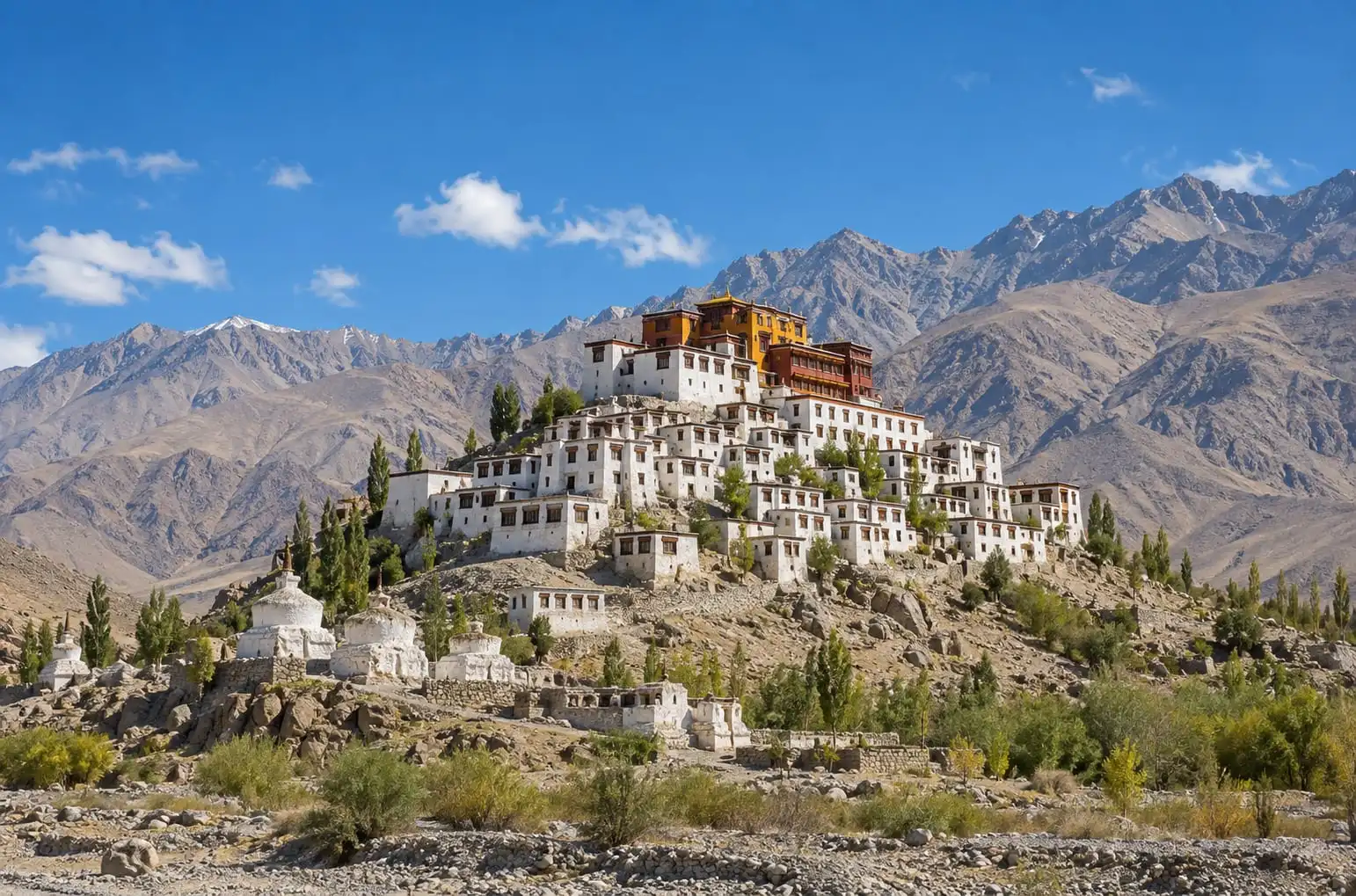 DestinationLadakh Travel GuideLadakh explained: Leh at 3,500 m, the 48-hour rest rule, when Zoji La opens, permits for Indian and foreign visitors, and four listed packages.Read more
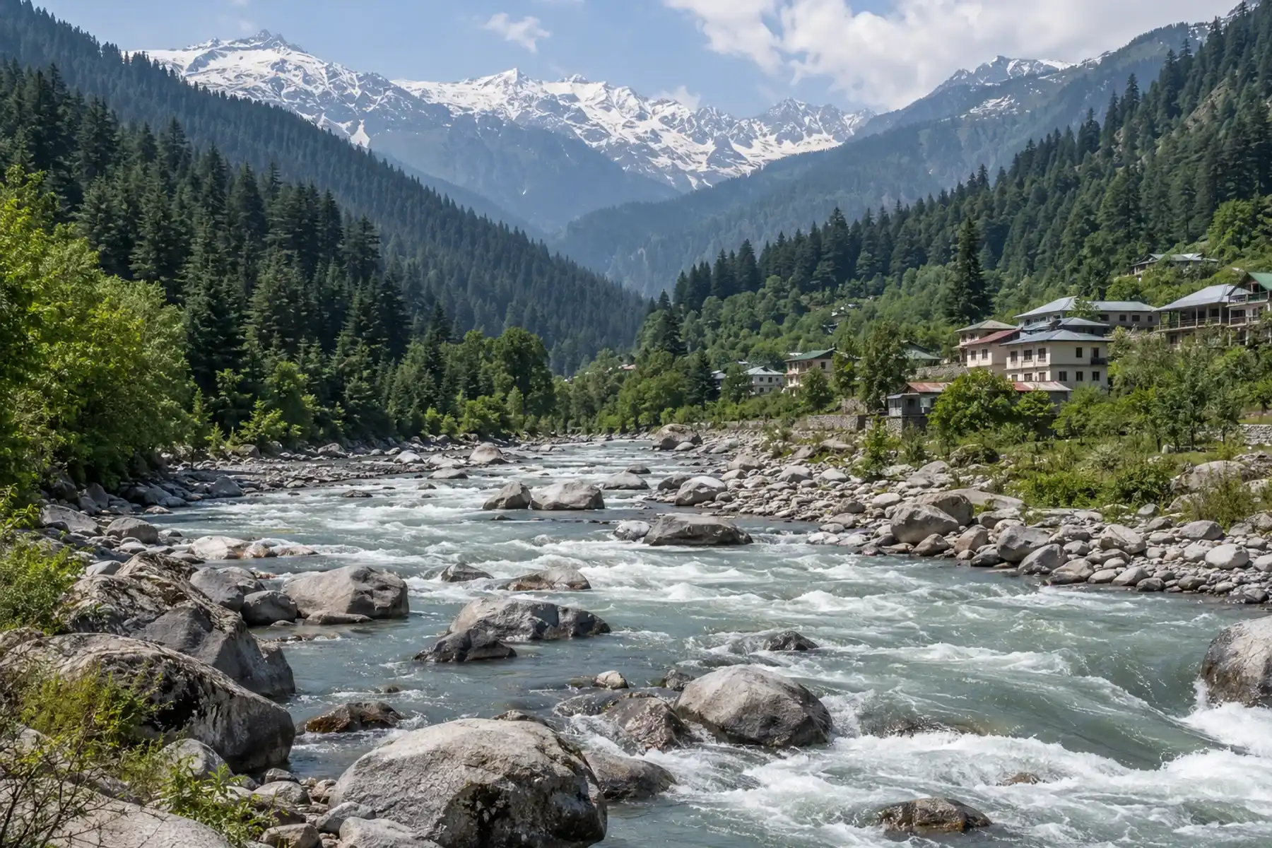 DestinationManali and the Leh HighwayManali is the green finish of a one-way Srinagar to Manali road trip through Ladakh. Soun Kashmir explains the route, the sights, months and onward travel.Read more
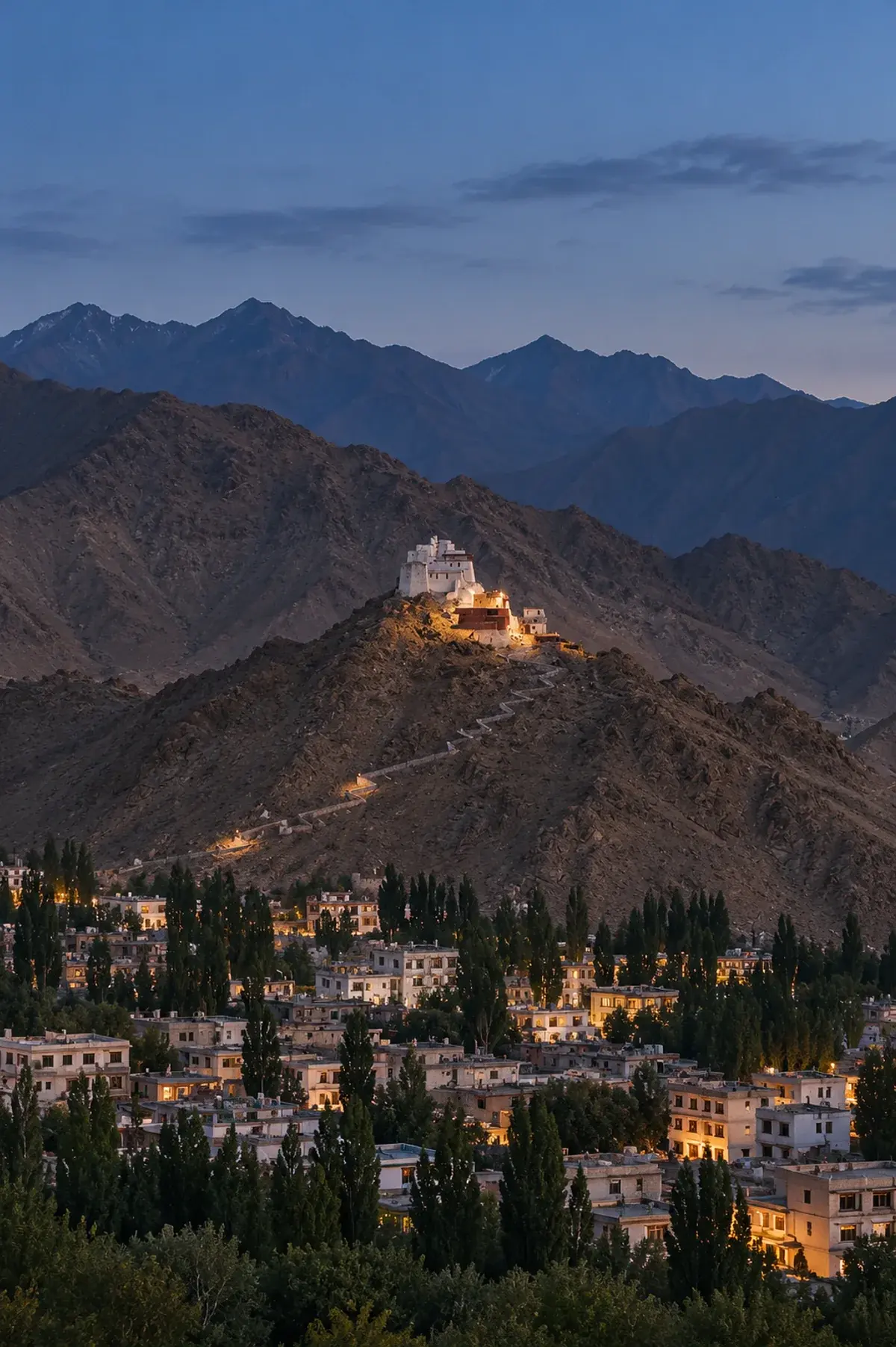 DestinationLehThe main town of Ladakh: monasteries, a hilltop palace, bazaars and the base for the lakes and valleys beyond.Read more
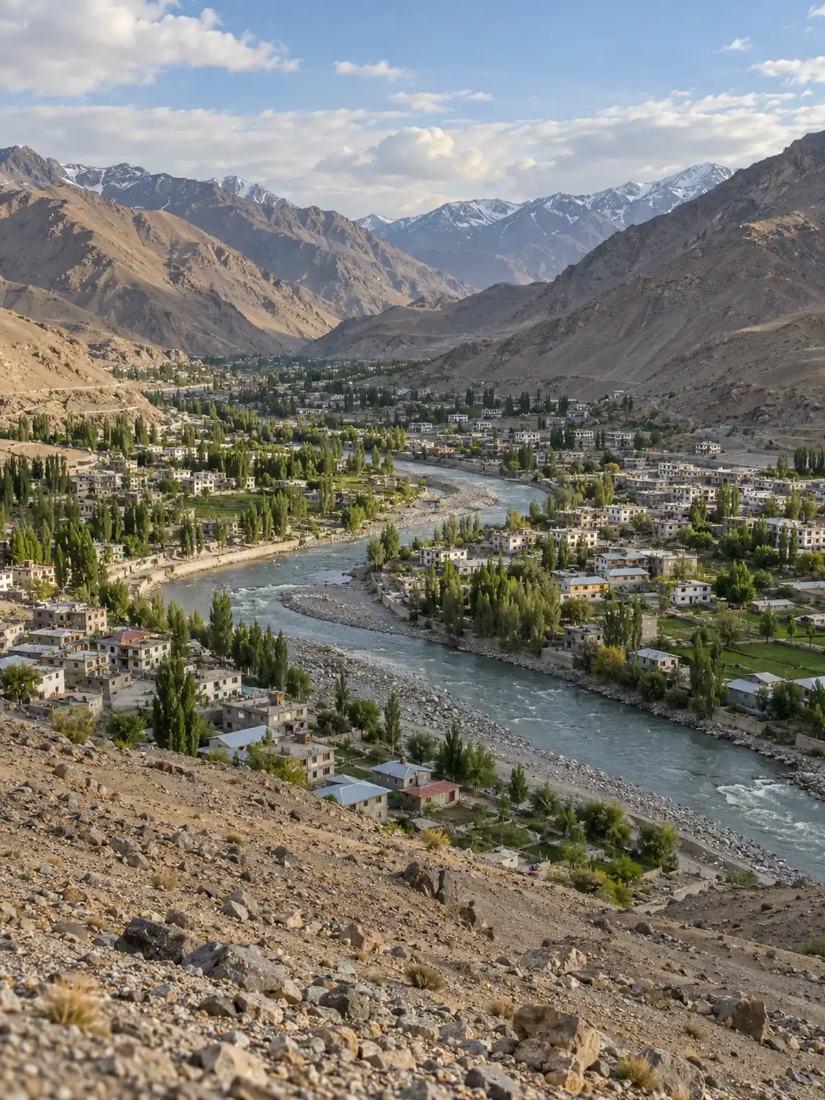 DestinationKargil Travel GuideKargil sits 204 km from Srinagar and 234 km from Leh on the Ladakh highway. Heights, the Dras war memorial, Zoji La closures, months and permits.Read more
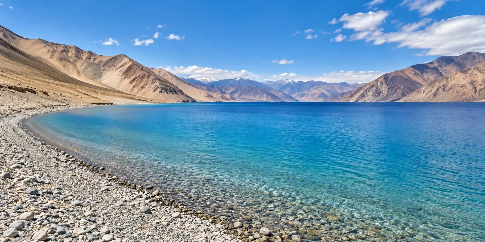
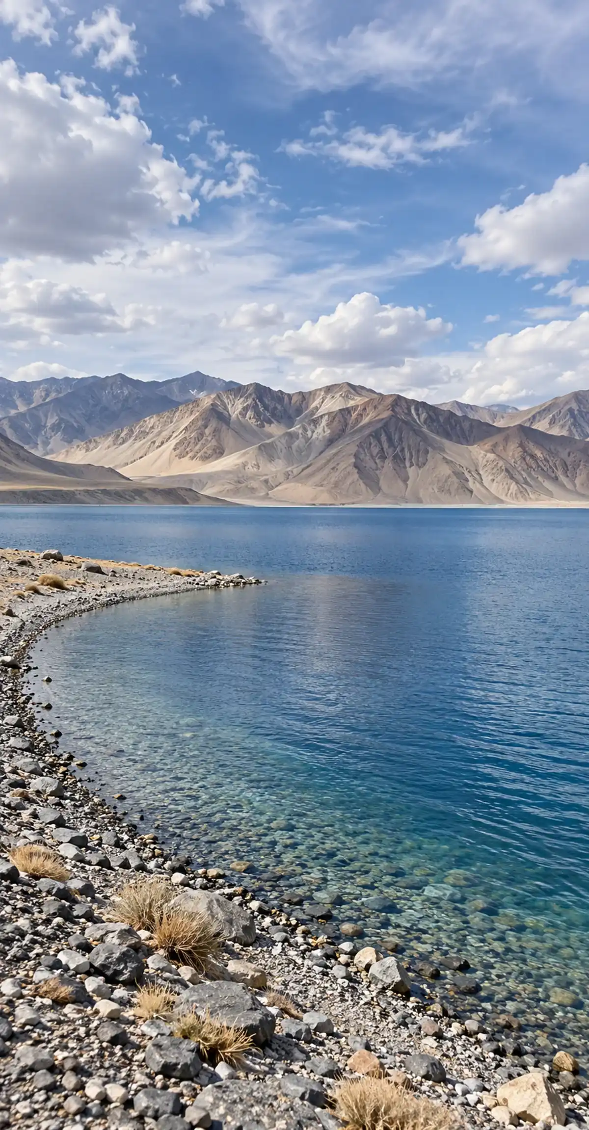 DestinationPangongA long high-altitude lake in Ladakh that changes colour through the day, usually reached from Leh by road.Read more
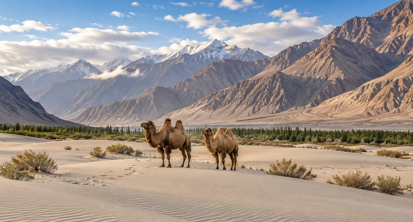 DestinationNubra ValleyA valley north of Leh reached over the Khardung La pass, known for sand dunes, double-humped camels and the Diskit monastery.Read more
How it works
Pick a package or tell us the places and the days you have in mind.
Our planners change the route, the hotels, the houseboat night and the cab to suit your group, and send a free quote.
Confirm the plan and pay as you go: the payment schedule is written in your confirmation.
Travel with a driver-cum-guide, and reach us any hour by phone or WhatsApp.
Contact
Customised packages for Jammu, Kashmir and Ladakh, with deals for families, couples and groups. Hotels, houseboats and cabs in Kashmir at affordable prices.
Free custom quote · Step 1 of 2