 Ladakh 10 days 2 pax min
Kashmir Ladakh Tour
- Srinagar
- Gulmarg
- Sonmarg
- Kargil
- Leh
- Pangong
- Nubra
- Khardung La
- Sightseeing
- Hotel
- Meals
- Cab

In short
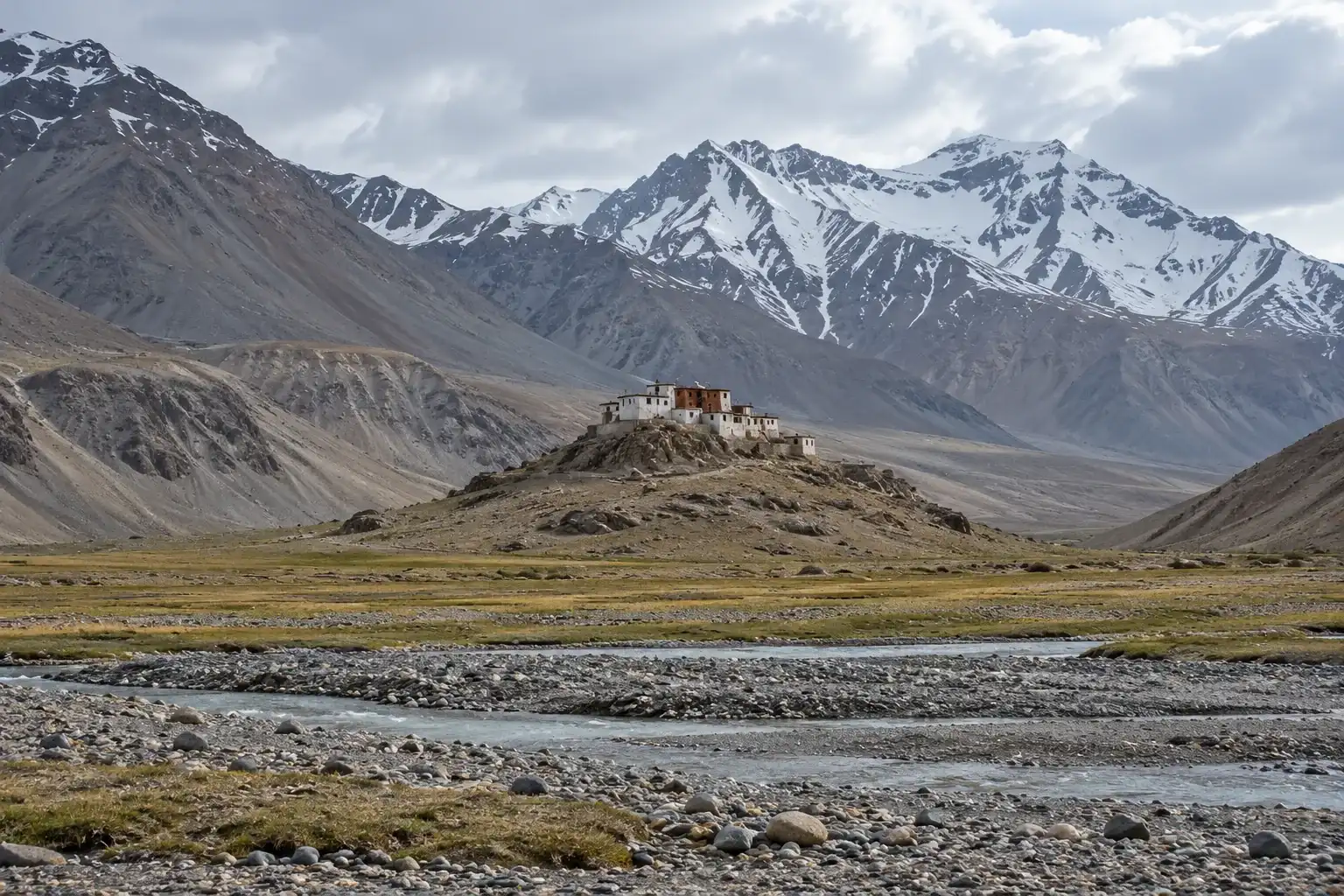
Rangdum is a village at the head of the Suru valley in Ladakh, 3,657 m high on the road between Kargil and Padum, with a Gelug monastery on a hill at 4,031 m, according to Wikipedia. Pensi La, at 4,400 m, lies about 25 km beyond. Soun Kashmir lists no Rangdum package, so ask for a quote.
At a glance
Rangdum lies at the top of the Suru valley on the NH301 road between Kargil and Padum. Wikipedia describes colourful hills on one side and rocky mountains and glaciers, notably Drang-Drung, on the other, and calls the area with its gompa and the hamlet of Julidok the last inhabited part of the valley. It gives the village 3,657 m and the monastery hill 4,031 m. Wikipedia's Rangdum article places the village in Zanskar district, while its Suru Valley article places the valley in Sankoo district.
| Place | Height | Source |
|---|---|---|
| Kargil | 2,676 m | Wikipedia, Kargil |
| Leh | About 3,500 m | Ladakh Tourism advisory |
| Rangdum village | 3,657 m | Wikipedia, Rangdum |
| Rangdum Monastery | 4,031 m | Wikipedia, Rangdum Monastery |
| Pensi La | 4,400 m | Wikipedia, Pensi La |
| Padum | 3,669 m | Wikipedia, Padum |
Our Padum page covers the town beyond the pass and our Kargil page covers the halt before it.
Wikipedia's sources do not agree. Its article on the village puts Rangdum about 100 km from Kargil. Its article on the monastery says 196 km from Kargil, 87 km from Sankoo and 103 km from Padum. The Padum article gives NH301 as 235 km and the Pensi La article as 240 km, and 235 minus 103 leaves about 132 km. Treat every figure as approximate and expect the day to be long.
| Stretch | Figure | Source |
|---|---|---|
| Kargil to Rangdum | About 100 km | Wikipedia, Rangdum |
| Kargil to Rangdum Monastery | 196 km | Wikipedia, Rangdum Monastery |
| Sankoo to Rangdum Monastery | 87 km | Wikipedia, Rangdum Monastery |
| Rangdum Monastery to Padum | 103 km | Wikipedia, Rangdum Monastery |
| Rangdum Monastery to Pensi La | About 25 km | Wikipedia, Pensi La and Rangdum Monastery |
The road to Kargil is the Srinagar highway over Zoji La: see our Srinagar to Ladakh taxi page and the Sonmarg guide for the first leg.
Rangdum Monastery, also called Rangdum Gompa, sits on a small, steep sugarloaf hill beside Julidok village. According to Wikipedia an inscription credits Gelek Yashy Takpa with building it during the reign of King Tsewang Namgyal II, who ruled from 1753 to 1782, and it counts about 30 monks and almost as many donkeys. Wikipedia says solar power reached the monastery in June 2017 through the Global Himalayan Expedition, which also set up homestays in the nearby villages.
For visitors, Wikipedia names a tourist bungalow and a trio of tea-houses in the village, plus a tented camp with bedded tents about 2 km away that runs in summer only. Its monastery article adds homestays in the nearby villages. Wikipedia calls the surrounding country bleak, with crops that sometimes fail to ripen in the short summer, so the village depends on its flocks and on supplies from lower down the valley. Carry cash, since the Ladakh Police page says ATMs are sparse outside Leh, and a postpaid SIM, since only postpaid connections work in Ladakh.
| Period | What the sources say | Source |
|---|---|---|
| Winter | Pensi La remains shut under winter snow; the road is open 6 to 7 months | Wikipedia, Pensi La |
| October to March | Carry cold-weather gear; Ladakh winters can reach -30 °C | Ladakh Tourism advisory |
| May to September | 10 to 25 °C across Ladakh, with cold nights | Ladakh Police tourist safety page |
The sources quoted here give no opening dates for Pensi La in any year, so ask for the pass position on your date. Wikipedia says the Suru valley population is Muslim as far as Parkachik and that Yuldo and Julidok at the valley's end are Buddhist, so dress modestly and ask before taking photographs.
Going from Kargil at 2,676 m to Rangdum at 3,657 m raises your sleeping height by almost 1,000 m in a day. The US Centers for Disease Control and Prevention advises moving the sleeping altitude by no more than 500 m a day once above 3,000 m, and adding a rest day for every extra 1,000 m. Ladakh Tourism requires 48 hours of complete rest in Leh first and lists Zanskar among areas with minimal medical infrastructure. A day without driving at Rangdum is a sensible hedge, and anyone with a heart or lung condition should see a doctor first.
Wikipedia's 2018 list of protected areas in Ladakh names parts of Khalatse, Nubra and Pangong and the Chiktan and Batalik areas of Kargil district, and it does not name the Suru valley or Rangdum. A Free Press Journal report of 7 August 2021 said Indian nationals no longer need an inner line permit, while foreign nationals still need a Protected Area Permit. Rules change, so ask us how permits are handled for the route you choose.
None of the four listed trips goes up the Suru valley: the ten-day Kashmir Ladakh Tour at ₹21,550 stops at Kargil and then turns east for Leh. A Zanskar route with a Rangdum night is not listed, so ask our tour planners for a quote; start from the Ladakh tour packages page and the Ladakh guide.
On 6 November 2026 we read the Wikipedia articles on Rangdum, Rangdum Monastery, Suru Valley, Pensi La, Padum, Kargil, Nun Kun and the protected and restricted areas of India, the Ladakh Tourism advisory, the Ladakh Police tourist safety page, the Free Press Journal report of 7 August 2021 and the CDC Yellow Book chapter on high-altitude travel. Wikipedia's distances for this road conflict across its own articles so every figure is approximate. Road, lodging and permit conditions change, so confirm them before you travel.
Wikipedia gives 3,657 m for the village and 4,031 m for the monastery hill. Both are above Leh, which stands near 3,500 m, and Pensi La, 25 km beyond, rises to 4,400 m.
Wikipedia says about 100 km in its Rangdum article and 196 km in its monastery article, so the sources conflict. Treat it as a long mountain day rather than a short transfer.
Wikipedia names a tourist bungalow and three tea-houses in the village and, 2 km away, a bedded-tent camp that opens only in summer. Its monastery article adds homestays set up in nearby villages.
Wikipedia says the Pensi La road beyond it is open for 6 to 7 months and shuts in winter snow. The sources quoted here give no dates for a given year, so ask about the pass for your date.
It is the middle of the NH301 road between Kargil and Padum, and it sits 25 km short of Pensi La. A night here splits the drive and the climb in height.
Wikipedia describes a working Gelug monastery with about 30 monks beside Julidok village but gives no opening hours. Ask on the day, dress modestly and ask before taking photographs.
No. The four listed Ladakh trips stay in the Leh, Nubra and Pangong area. A Rangdum night is not listed, so write to us with your dates and group size for a quote.
Packages to start from
Each package is a starting point: we change the route, the days and the hotels to suit you.
Ladakh 10 days 2 pax minKeep exploring
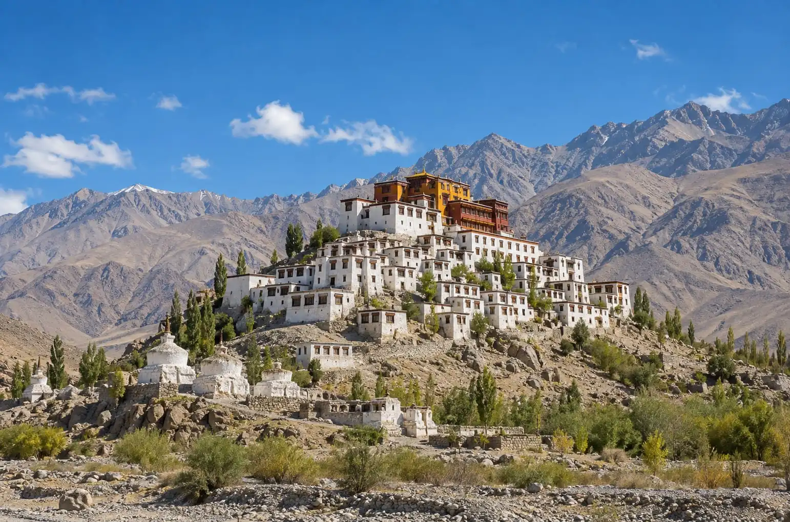 DestinationLadakh Travel GuideLadakh explained: Leh at 3,500 m, the 48-hour rest rule, when Zoji La opens, permits for Indian and foreign visitors, and four listed packages.Read more
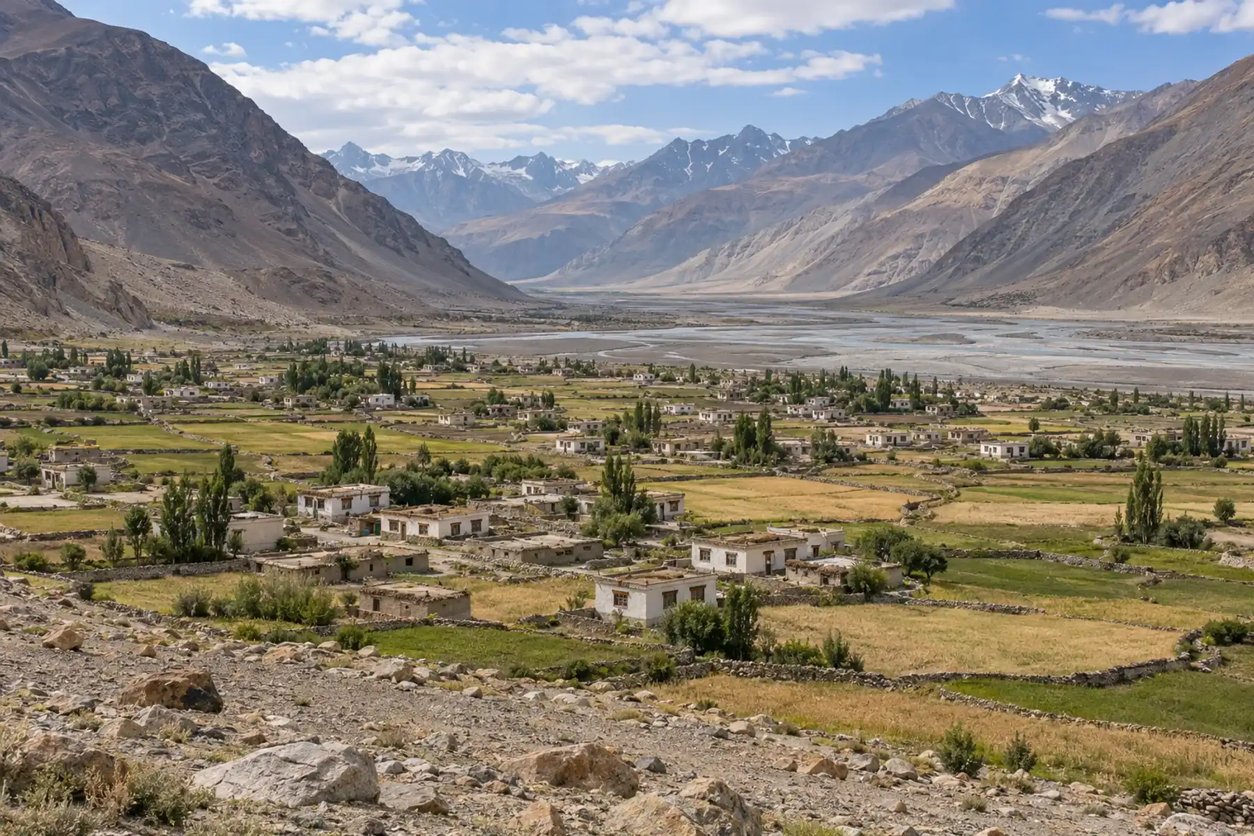 DestinationPadum and the Zanskar ValleyPadum, headquarters of Zanskar district in Ladakh: 3,669 m high, 235 km from Kargil over Pensi La. Monasteries, road seasons, phones and permits.Read more
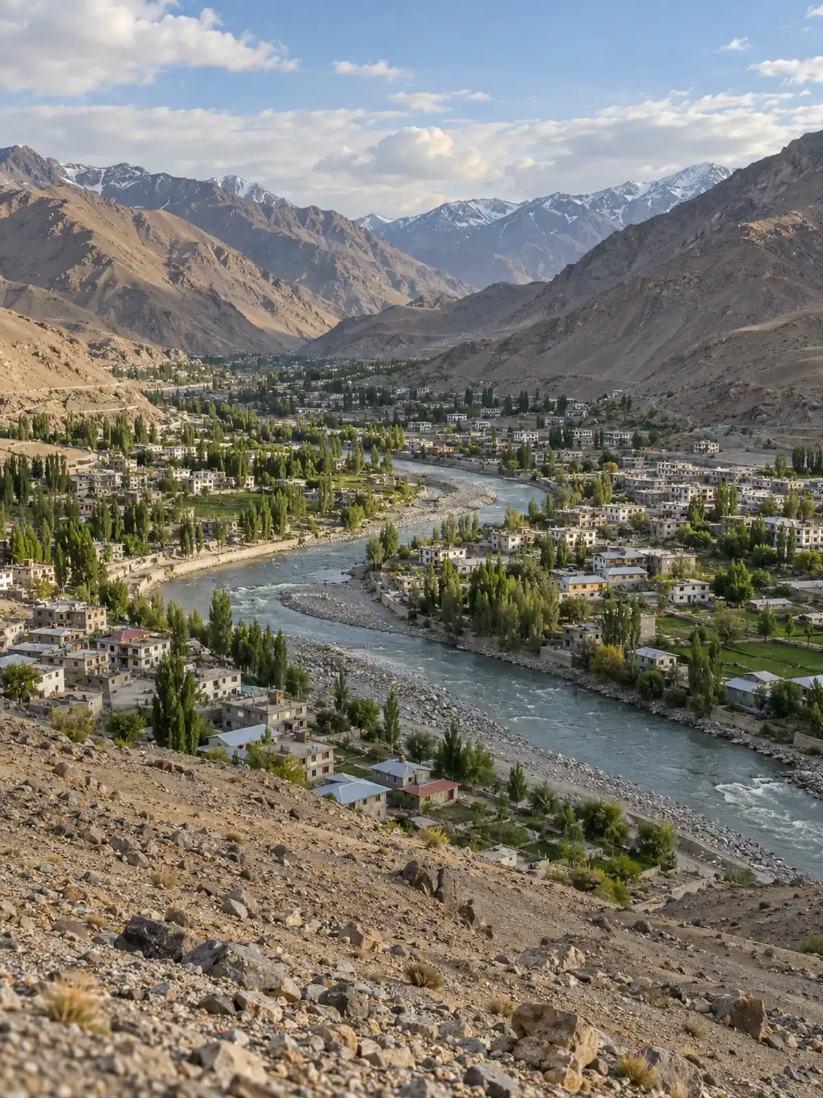 DestinationKargil Travel GuideKargil sits 204 km from Srinagar and 234 km from Leh on the Ladakh highway. Heights, the Dras war memorial, Zoji La closures, months and permits.Read more
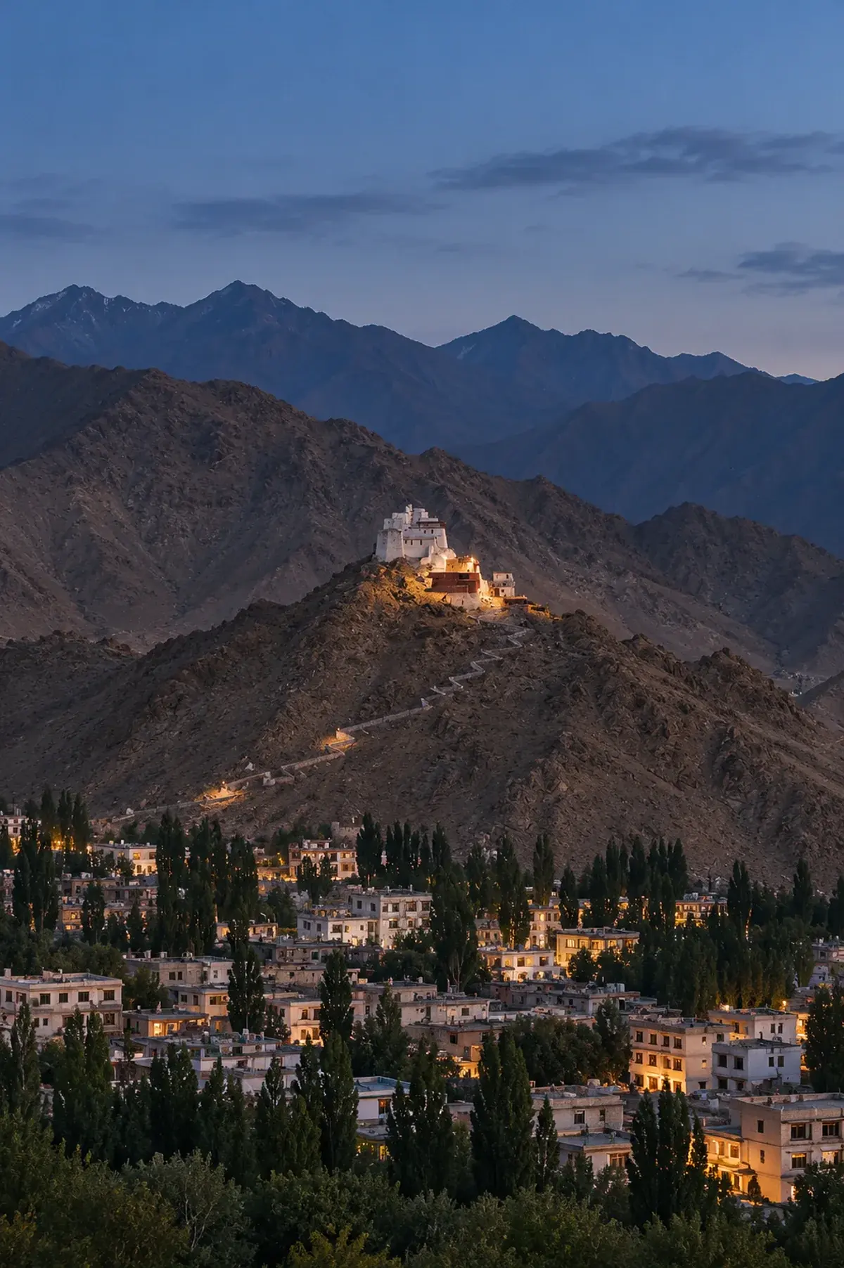 DestinationLehThe main town of Ladakh: monasteries, a hilltop palace, bazaars and the base for the lakes and valleys beyond.Read more
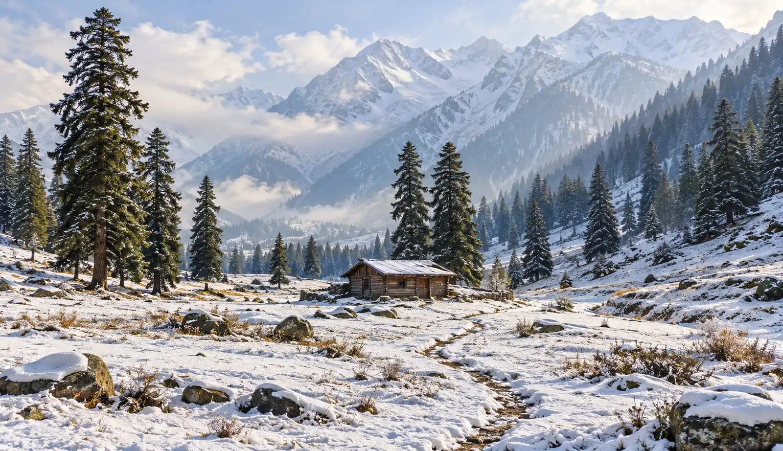 DestinationSonmargA high valley on the Sindh river on the road to Ladakh, known for the Thajiwas glacier and as a base for the Baltal route of the Amarnath Yatra.Read more
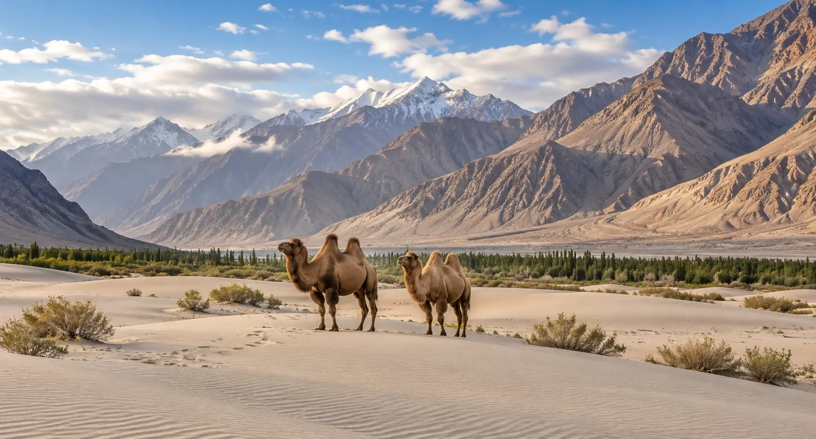 PackagesLadakh Tour PackagesLadakh tour packages from Soun Kashmir: Leh, Nubra Valley, Khardung La and Pangong, from 5 to 10 days, with hotel, meals and cab included.Read more
How it works
Pick a package or tell us the places and the days you have in mind.
Our planners change the route, the hotels, the houseboat night and the cab to suit your group, and send a free quote.
Confirm the plan and pay as you go: the payment schedule is written in your confirmation.
Travel with a driver-cum-guide, and reach us any hour by phone or WhatsApp.
Contact
Customised packages for Jammu, Kashmir and Ladakh, with deals for families, couples and groups. Hotels, houseboats and cabs in Kashmir at affordable prices.
Free custom quote · Step 1 of 2